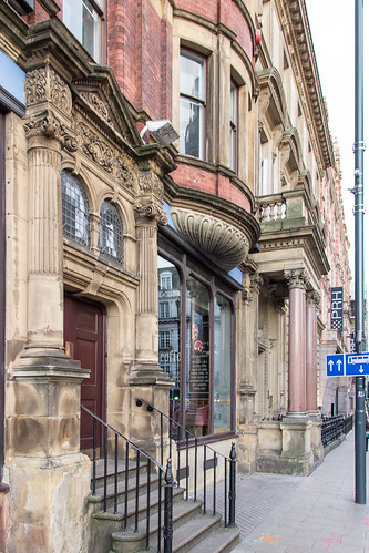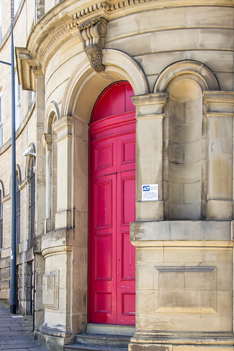
Vicar Lane, Little Germany, Bradford, England
Vicar Lane, Little Germany, Bradford, England
Image by Billy Wilson Photography
Grade II listed historic warehouse constructed in 1866.
"Little Germany, Bradford, is an area of particular historical and architectural interest in central Bradford, West Yorkshire, England. The architecture is predominantly neoclassical in style with an Italian influence. Many individual buildings are listed, and Little Germany is also protected as a Conservation Area.
The buildings within Little Germany date back to the 19th century, developing from 1855. Most of the buildings were constructed for the use of textile businesses, although are also a few non-commercial buildings, for example Baptist and Methodist chapels. The commercial buildings are the legacy of merchants from mainland Europe, many of them Jewish, who spent large sums of money constructing imposing warehouses for the storage and sale of their goods for export. A large proportion of the merchants came from Germany hence the name Little Germany. Bradford became more attractive as a centre of international trade in the aftermath of the Franco-Prussian War, which disrupted commercial relations between France and Germany.
Architectural practices included Milnes & France, Lockwood & Mawson, Andrews & Delaunay and J.T. Fairbank building in italianate style. An 1871 building by George Corson for Scottish clients is in Scottish baronial style. Caspian House (61 East Parade) was built in 1873, as the warehouse of D. Delius and Company; the senior partner in the business was the father of the composer Frederick Delius.
Little Germany is also the home of the Bradford Playhouse, which has a mural on the back of the building that commemorates the centenary of the founding of the Independent Labour Party in Bradford in 1893.
Bradford /ˈbrædfərd/ is a city in West Yorkshire, England, in the foothills of the Pennines, 8.6 miles (14 km) west of Leeds, and 16 miles (26 km) north-west of Wakefield. Bradford became a municipal borough in 1847, and received its charter as a city in 1897. Following local government reform in 1974, city status was bestowed upon the City of Bradford metropolitan borough.
Bradford forms part of the West Yorkshire Urban Area, which in 2001 had a population of 1.5 million and is the fourth largest in the United Kingdom. Bradford itself has a population of 529,870, which makes it the seventh-largest city in the United Kingdom and the third-largest city in Yorkshire and the Humber after Leeds and Sheffield.
Historically part of the West Riding of Yorkshire, Bradford rose to prominence in the 19th century as an international centre of textile manufacture, particularly wool. It was a boomtown of the Industrial Revolution, and amongst the earliest industrialised settlements, rapidly becoming the "wool capital of the world". The area’s access to a supply of coal, iron ore and soft water facilitated the growth of Bradford’s manufacturing base, which, as textile manufacture grew, led to an explosion in population and was a stimulus to civic investment; Bradford has a large amount of listed Victorian architecture including the grand Italianate City Hall.
The textile sector in Bradford fell into decline from the mid-20th century. Bradford has since emerged as a tourist destination, becoming the first UNESCO City of Film with attractions such as the National Science and Media Museum, Bradford City Park, the Alhambra theatre and Cartwright Hall. Bradford has faced similar challenges to the rest of post-industrial Northern England, including deindustrialisation, social unrest and economic deprivation." – info from Wikipedia.
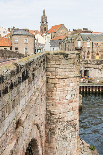
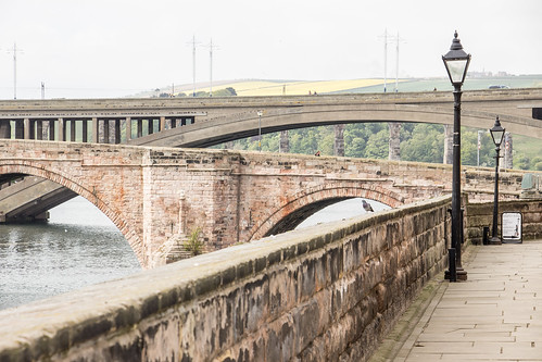
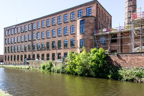
Summer 2019 I did a solo cycling tour across Europe through 12 countries over the course of 3 months. I began my adventure in Edinburgh, Scotland and finished in Florence, Italy cycling 8,816 km. During my trip I took 47,000 photos.
Now on Instagram.
Become a patron to my photography on Patreon.